

Latest Weather Blog
Strange cloud feature spotted in Livingston Parish on Wednesday
WALKER - As thunderstorms grew tall across the capital area Wednesday afternoon, Sawyer Delatte captured a neat-looking feature to the northeast of Walker.
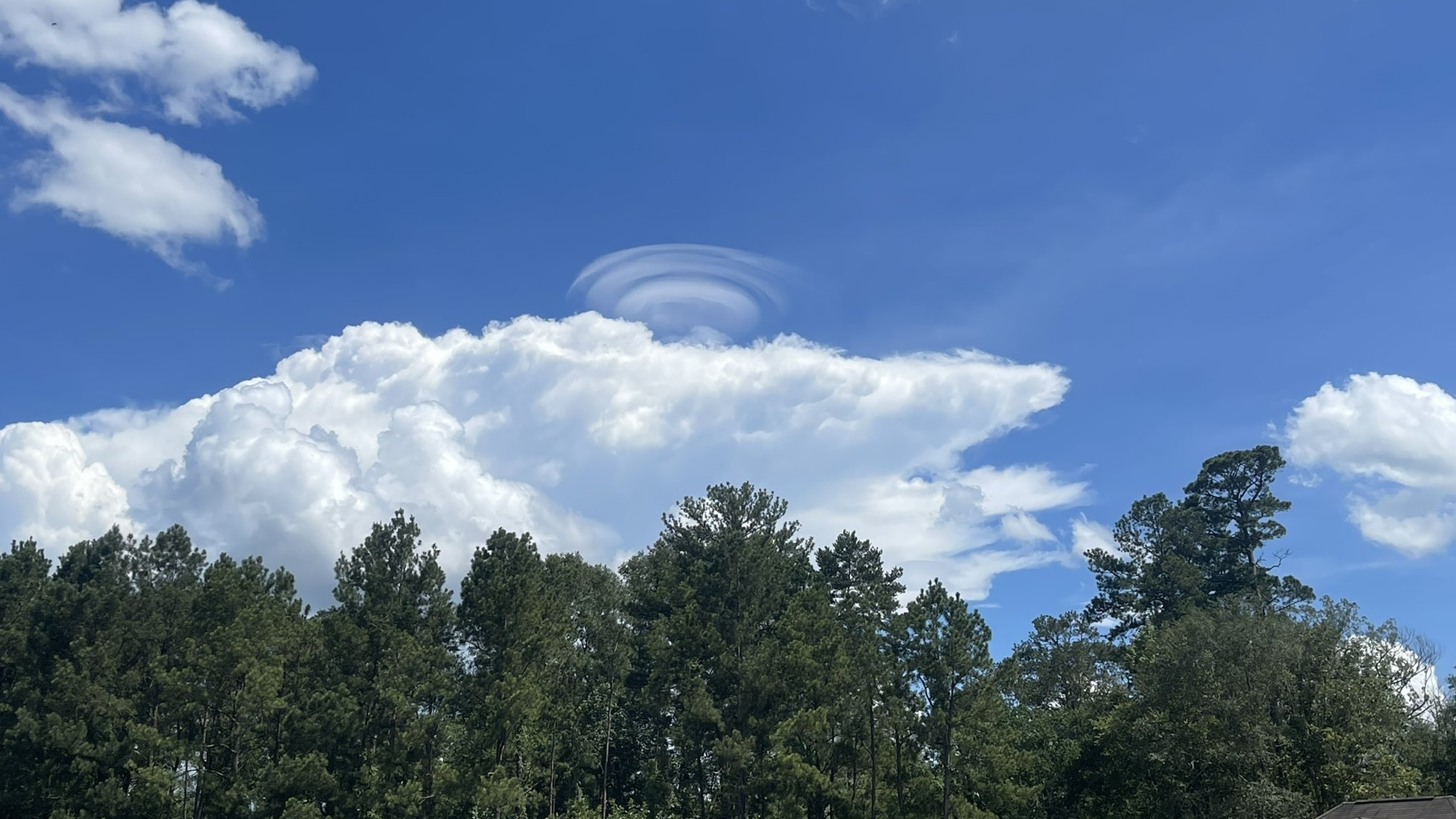
Courtesy: Sawyer Delatte
Above the towering thunderstorm cloud, otherwise known as a cumulonimbus cloud, there are several umbrella-like layers on top of each other. These are known as pileus clouds, or a cap cloud.
Thunderstorms are kept alive by rising currents of warm, moist air - an updraft. As updrafts surge upward, they push on the air above it. Pileus clouds form when that "push" is quick enough where the overlying air rapidly cools and forms a cloud.
While not uncommon, they tend to be short-lived which can make them difficult to spot.
Trending News
See weather happening in your neighborhood? The Storm Station would love to see your photos and video. Email them to weather@wbrz.com or submit via the Storm Station Weather App. Follow WBRZ Weather on Facebook and Twitter for even more weather updates while you are on the go.
More News
