Ten years since a major hurricane landfall, longest in recorded history


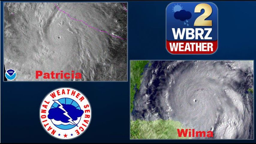
One day before the 10 year anniversary of the last major hurricane (category 3+) to make landfall in the United States, Mexico is being absolutely inundated by Hurricane Patricia. Patricia is the most powerful storm on record in the western hemisphere according to the National Hurricane Center. At the time of this writing, Patricia has 200+mph winds and a pressure of only 880mb.
Luckily, we haven’t seen a storm near this magnitude for quite some time. Following an extremely active hurricane season in 2005, the US has experienced quite a dry spell in major hurricane landfalls. While there have been some significant landfalls including Gustav, Ike, Isaac and Sandy, the United States has not experienced a major hurricane landfall since Wilma hit Florida on October 24th, 2005.
According to data from the Hurricane Research Division of the Atlantic Oceanographic and Meteorological Laboratory, this is the longest stretch of time in recorded meteorological history in which the US has not experienced a major hurricane landfall.
It's rare to reach the "W" on the annual list of hurricane names. The fact that Wilma reached category 5 strength is even less common. In fact, Wilma is the only retired "W" name.
Many expected the 2005 season to be the new "norm," but as recent history has shown, it is hard to predict exactly what a hurricane season will yield. Hurricane Season 2005 brought us 28 storms. When considering the Accumulated Cyclone Energy Index (ACE), the only other season comparable to 2005 was 1933, which included 20 storms, six of which were major hurricanes.
The 2005 season is ranked second behind 1933 when considering the ACE.
Throughout recorded meteorological history, there has been a cyclical pattern of active and quiet periods. We also see a cyclical pattern in spatial distribution. An academic article in the American Meteorological Society's Journal of Climate by Louisiana State Climatologist Barry Keim et al. shows return periods for tropical storms and hurricanes from Texas to Maine. Not only does it show spatial distribution of tropical systems from 1901 to 2005, but also return periods of tropical systems, including return periods of major hurricanes.
Trending News
In the included image from the article, one can see an increase in major hurricanes in the 1920s through the 1960s, alternating from Gulf Coast landfalls, to East Coast landfalls. Activity simmered down a bit from the late 1960s until the late 90s into the early 00s where tropical activity picked up again. It may have been relatively quiet from the 60s to the 90s, but it does not compare to the current ten year void in major landfalls.
We all know that it only takes one storm classify the year as a "bad" one, but hopefully, an 11 year stretch without a major hurricane landfall is in the making.


