

Latest Weather Blog
South Louisiana Painted Sky
What do you get when thunderstorms roll through south Louisiana?
A painted sky!
Here is a look at some of the pictures and videos our viewers sent in from across the area.
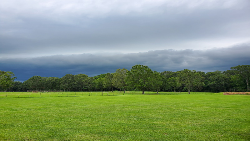
Before the storm began to intensify:
An eddy in the clouds. This happens when there is a disturbance in the flow. The disturbance causes the cloud to bellow over. Now this make look a little scary but this is something that happens naturally in cloud development. Convection currents lift air aloft into the cloud, intensifying the storm.
Trending News
Clouds before the storm:
Laura Owens
A shelf could approaching the area where this picture was taken. The arcus cloud or better know as the shelf cloud is typically found on the leading edge of the thunderstorm cumulonimbus.
Some may say south Louisiana had a light show this afternoon… cloud to ground lightning was frequent with these storms.
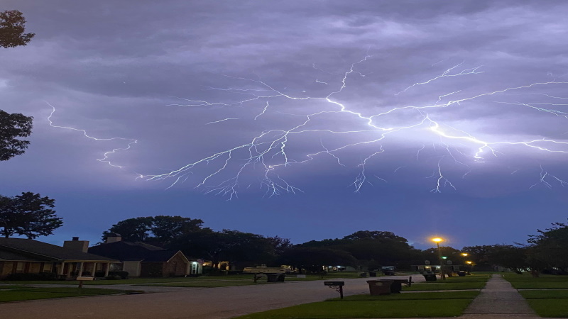
Kelly McDonald- Millerville
Michael Cauble
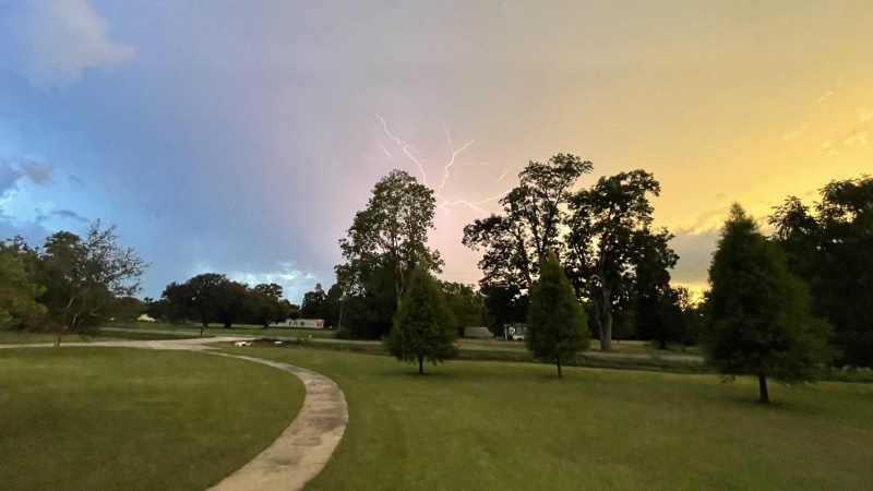
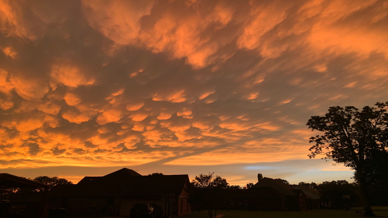
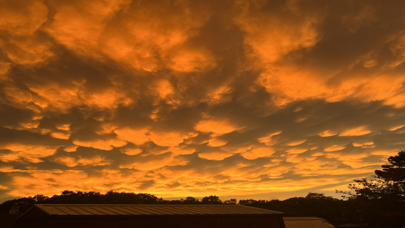
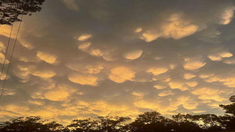
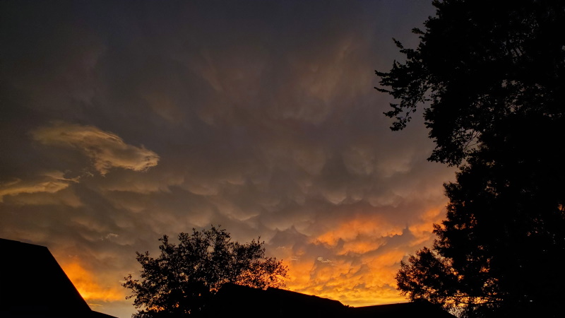
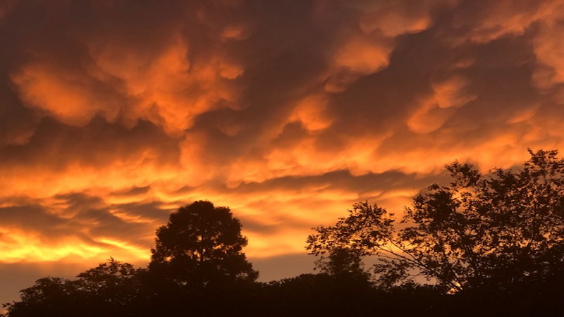
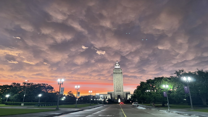
As the storms continue to develop they begin to mature, one of the leading signs of an instability is mammatus clouds.
Scott Springfield- New Roads
Mammatus clouds a sure sign that the thunderstorm has some power. Usually when these clouds develop it is because cold pooling within the parent cloud. With these types of clouds there is a higher chance for the original storm cloud to produce frequent lightning or hail.
Teresa Golden – Denham Springs
Dale Hidalgo- Watson
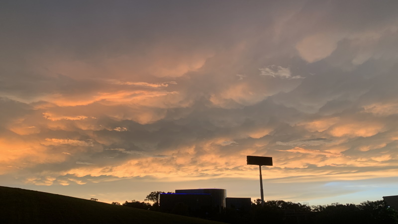
Troy- Watson
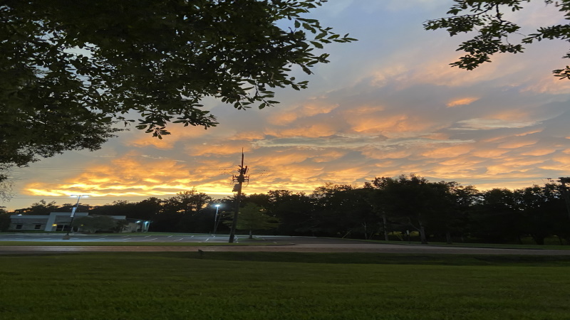
Lydia R – Pride
Judah Santiago- Baton Rouge
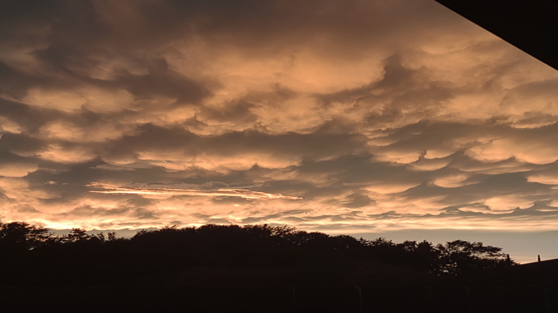
After all of the rain has moved out we get what makes it all worth it… Louisiana painted sky
Diane Clay- Zachary
Laura Smith- Downtown Baton Rouge
Royce Wheat- Bluebonnet
Lexie Metz- Central
Thank you all for sharing! Be sure you send in your weather photos to weather@wbrz.com.
More News
