Saturday PM Forecast: Low relative humidity will create fire weather conditions again tomorrow
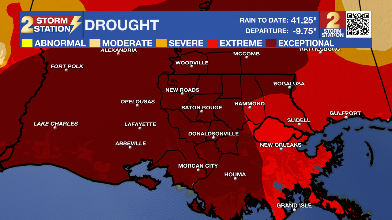
Although we will not see that much sun tomorrow because of the clouds, the current drought conditions and low relative humidity will cause fire weather conditions. Any fires that start will spread quickly.

Tonight & Tomorrow: Clouds will continue to build into the area in the overnight hours and will not allow our low temperature to get as low as previous nights. We will still get down to around 64 degrees. Clouds will stick around throughout the entire day on Sunday. We will start the day with overcast skies and end the day with some slight clearing to mostly cloudy skies. Temperatures will max out around 87 degrees but humidity will not be that high. Low relative humidity and drought conditions will lead to increased fire danger. If the burn ban in your parish has been lifted, still be extremely careful about burning.
Up Next: Clouds will stick around throughout the morning on Monday but should start to clear out by the afternoon. This will give way to highs in the upper 80's and that will be the story for the rest of the week. Our next potential shot for rain is Thursday and Friday. This weather system looks to miss us currently and these low end rain chances might need to be taken away by tomorrow.
Trending News
Get the latest 7-day forecast and real time weather updates HERE.
Watch live news HERE.
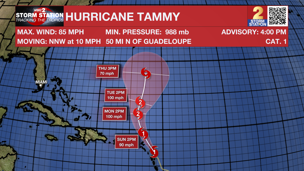
The Tropics: Tammy is a Category 1 hurricane with 85 mph winds. It is currently impacting the Lesser Antilles with several inches of rain, a few feet of storm surge, and at least tropical storm force winds. Various tropical alerts, including Hurricane Warnings, are in effect for the islands that make up the Lesser Antilles.

Tammy is moving northwest, almost paralleling the Lesser Antilles. The system will gradually strengthen through the weekend before curving out to sea next week.
-- Balin
The Storm Station is here for you, on every platform. Your weather updates can be found on News 2, wbrz.com, and the WBRZ WX App on your Apple or Android device. Follow WBRZ Weather on Facebook and Twitter for even more weather updates while you are on the go.


