

Latest Weather Blog
Saturday PM Forecast: Great weather to start weekend, next rainmaker on the horizon
The weather will cooperate for the first half of the weekend with lots of sunshine and warm temperatures. Increasing clouds on Sunday will eventually give way to our next rainmaker.
Today & Tonight: Look for temperatures to overall be warmer today, with highs near 80 degrees. There will be a few clouds out there, but these will fair weather cumulus, so no rain is expected. Get outside and enjoy the great conditions, but watch out for the pollen! Overnight, lows will continue to trend warmer. We will bottom out in the upper 50s under mostly clear skies.
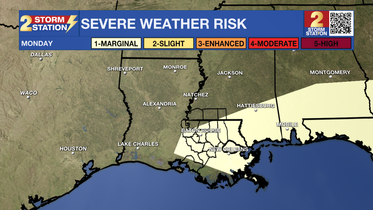
Up Next: The warm temperatures will remain on Sunday, but cloud coverage will be on the rise. Some spotty light showers will be possible, but most will stay dry. Winds will pick up a bit, making for a breezy afternoon. An approaching cold front will cause numerous showers and thunderstorms late Sunday, and also on Monday. This could cause for a pretty messy Monday morning commute. Severe weather chances will be low with this event.
After the front moves through, the forecast becomes a bit uncertain. In one scenario, the front could stall, leaving us with lingering clouds and a small rain chance into midweek, while a second scenario pushes it offshore, making for dry conditions. For now, the Storm Station 7-Day Forecast leans toward a mostly dry stretch Tuesday through Thursday, with highs in the upper 70s to low 80s and overnight lows in the mid-50s to low 60s.
Trending News
Get the latest 7-day forecast and real-time weather updates HERE.
Watch live news HERE.
– Balin
The Storm Station is here for you, on every platform. Your weather updates can be found on News 2, wbrz.com, and the WBRZ WX App on your Apple or Android device. Follow WBRZ Weather on Facebook and X for even more weather updates while you are on the go.
More News
