

Latest Weather Blog
Friday PM Forecast: entering a warm and dry stretch, we've got Gordon in the Atlantic
An extended quiet pattern is in store for the Capital Area. There are a few minor rain chances along the way, but many locations will stay dry through the end of next week.
Tonight & Tomorrow: Mostly clear skies will carry into the overnight hours. Low temperatures will not stray far from seasonal averages, bottoming out in the low 70s. Saturday will be mostly sunny. Thanks to some moisture lingering in the atmosphere from the remnants of Francine, a spotty afternoon shower cannot be ruled out during the afternoon hours. High temperatures will peak in the low 90s.
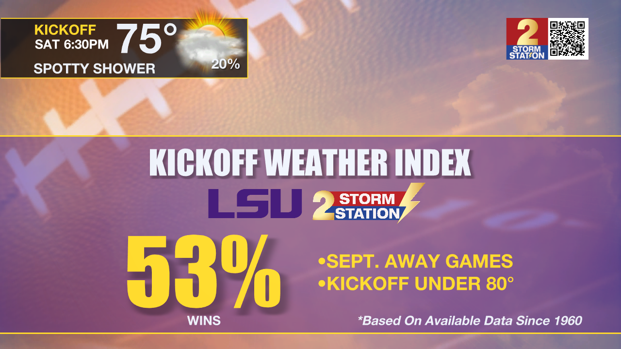
Football Forecasts: Both Southern and LSU take to the road on Saturday. In Jackson, Southern can expect to kickoff to a temperatures in the upper 70s with only a stray shower possible. Over in Columbia, LSU will also find game time temperatures in the 70s. Since 1960, LSU has won 53% of road games in September with a temperature under 80 degrees. The last loss in those conditions was against Wisconsin in 2016. There is a much lower chance for rain than earlier in the week. Should there be showers, the historical win percentage drops just below 50%.
Up Next: A few more clouds will develop on Sunday. Again, a spotty shower could pop as temperatures warm but most will miss rain. By early next week, the atmosphere may become just unstable enough to support isolated showers, but these would be the exception rather than the rule. The best, but still small, chance will be on Monday and Tuesday. There will not be any major change in temperatures through early next week. By Wednesday, an upper level ridge will start to take foot across the southern United States. This feature will bring an end to the small rain chances and keep temperatures above average with highs in the low 90s and lows in the low 70s. It will also remain a touch humid.
Trending News
Get the latest 7-day forecast and real time weather updates HERE.
Watch live news HERE.
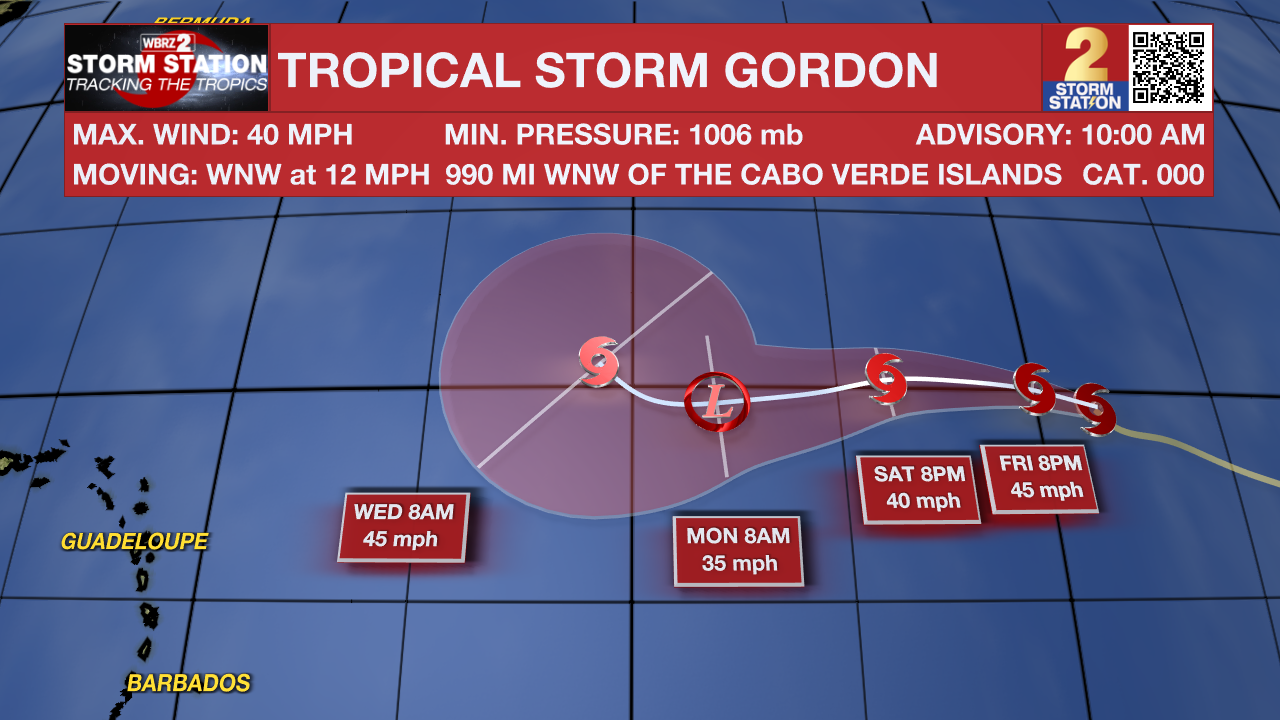
The Tropics: Tropical Storm Gordon has formed in the Atlantic Ocean. With maximum sustained winds of 40mph, Gordon will have a small window of opportunity to strengthen slightly while moving west at 10-15mph. This storm will remain over open water.
A non-tropical area of low pressure could form along a residual frontal boundary a few hundred miles off the southeastern U.S. coastline this weekend. Thereafter, some subtropical or tropical development is possible during the early part of next week while the system drifts to the north or northwest.
– Josh
The Storm Station is here for you, on every platform. Your weather updates can be found on News 2, wbrz.com, and the WBRZ WX App on your Apple or Android device. Follow WBRZ Weather on Facebook and Twitter for even more weather updates while you are on the go.
More News
