

Latest Weather Blog
Friday AM Forecast: Great conditions to end workweek, warming up over the weekend
The weather could not get much better to end the workweek, with lots of sunshine and highs in the lower 70s. Moving into the weekend, highs will return to the 80s, before our next rainmaker late Sunday.
Today & Tonight: High pressure will dominate the south today, leading to some great weather conditions. We will have complete sunshine all day long, with highs reaching the lower 70s. Winds will be out of the south at 5-15 mph, and stay slightly elevated in the overnight hours. This will bring our lows up a bit, but it will still be chilly, in the upper 40s.
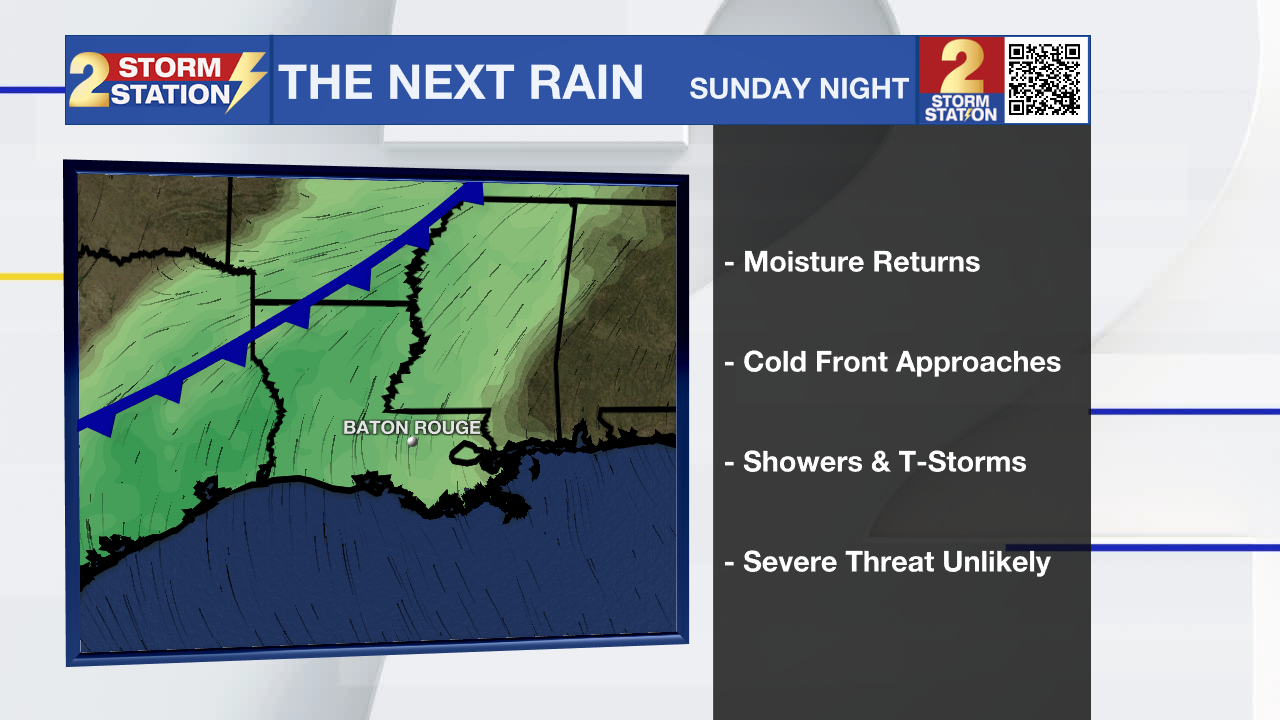
Up Next: Temperatures will warm as we head into the weekend, with highs in the 80s. Increasing moisture will lead to a few clouds Saturday, and mostly cloudy conditions to end the weekend. Although a few spotty showers will be possible Sunday, rain chances will dramatically increase overnight and early on Monday. A cold front will serve as the trigger for showers and thunderstorms. Some stronger storms cannot be ruled out, but the threat of severe weather looks to be low. Rain could linger into daybreak, which means some commute issues will be possible.
After the rain, high pressure will begin to build, leading to drier conditions through the middle of the week. The front is not expected to make a clean pass through the area so temperatures will not fall much with highs in the upper 70s and low 80s.
Trending News
Get the latest 7-day forecast and real-time weather updates HERE.
Watch live news HERE.
– Balin
The Storm Station is here for you, on every platform. Your weather updates can be found on News 2, wbrz.com, and the WBRZ WX App on your Apple or Android device. Follow WBRZ Weather on Facebook and X for even more weather updates while you are on the go.
More News
