A Cool Start to your Thursday
THE FORECAST:
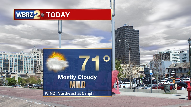
Today and Tonight: Mostly cloudy skies today, which will keep temperatures well below average through the day. Highs will top out near 71° through the afternoon with light winds out of the northeast. Clouds will continue tonight, helping temperatures slowly cool near 57° overnight.

Up Next: Temperatures continue to slowly warm through the weekend, before showers and storms move through into the start of the workweek.

The Tropics:
Trending News
We are currently monitoring one wave in the tropics.
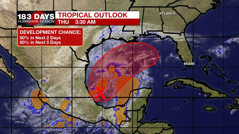
Showers and storms associated with a broad area of low pressure located over the Bay of Campeche have increased and become a little better organized during the past several hours. Recent satellite wind data also indicate that the system is producing winds to near tropical storm force. Environmental conditions are expected to be conducive for additional development, and a tropical or subtropical storm is likely to form later today or tonight while the system moves generally northeastward over the western Gulf of Mexico. The low is forecast to approach the northern or northeastern Gulf Coast on Friday or Saturday and regardless of development, the system is likely to produce gusty winds and rough surf over those areas. Heavy rainfall is also possible across portions of the southeast U.S. late this week and this weekend. Interests along the northern and northeastern Gulf coast should monitor the progress of this system. An Air Force Reserve reconnaissance aircraft is scheduled to investigate the system this afternoon, if necessary. The National Hurricane Center is forecasting a 80% chance of tropical development within the next 2 days and the next 5 days.

THE EXPLANATION:
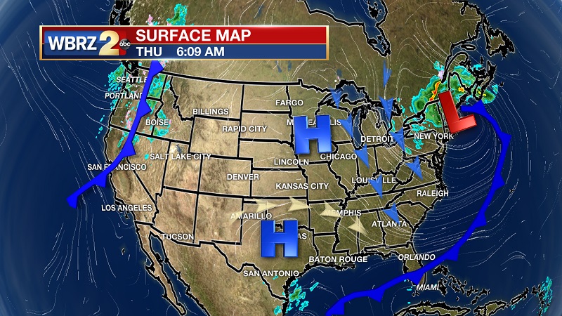
Cold air advection will be rather strong today, which will keep high temperatures around 70° across the area. The surface high pressure will slowly slide east, keeping conditions dry through the day. In the Gulf, a broad area of low pressure is forecast to move northeast to the northern and northeast Gulf Friday into Saturday. The Euro and GFS models are in better agreement with the low over the north central gulf by Friday morning. The Euro brings the low closer to the Mississippi Delta than the GFS, but both push onshore along the Florida Panhandle. The system will continue to lift northeast and dry conditions will occur across the area Saturday and early Sunday. A strong cold front will then drive through our area Monday, with possibly strong storms during the day. High pressure will build in the area behind the front Tuesday and Wednesday, keeping conditions dry and sunny.
--Meteorologist Matt Callihan
The WBRZ Weather Team is here for you, on every platform. Your weather updates can be found on News 2, and the WBRZ WX App. on Apple and Android devices. Follow WBRZ Weather on Facebook and Twitter for even more weather updates while you are on the go.


