UPDATE - There have been developments with this system. You can find the latest on the storm from the Storm Station HERE.
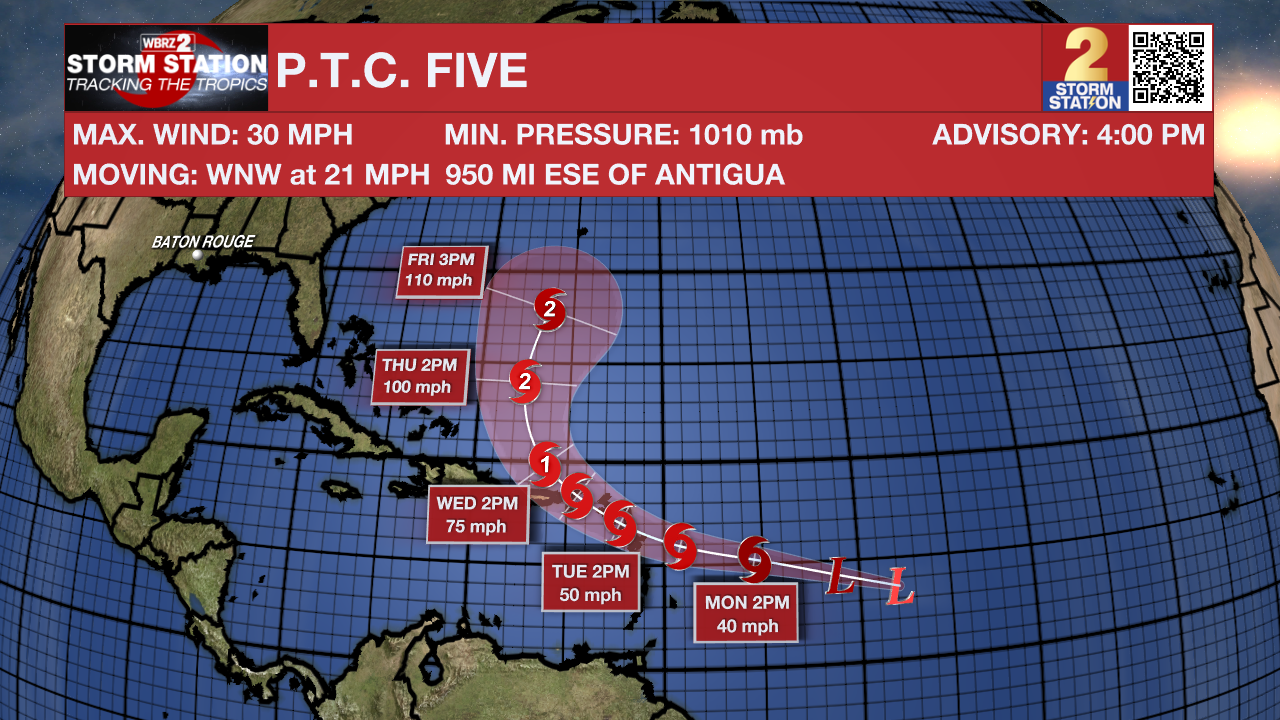
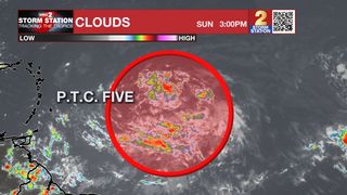
ORIGINAL STORY: The National Hurricane Center has begun issuing advisories on Potential Tropical Cyclone (P.T.C.) Five, located a little less than 1000 miles east of the Lesser Antilles. The "potential tropical cyclone" terminology is used when a disturbance has yet to acquire tropical characteristics, but will likely do so within 48 hours and impact land. This allows the National Hurricane Center to begin issuing tropical alerts.

P.T.C. Five will continue to move west in the coming days and intensify. The system will likely become a tropical storm early in the week. Once that happens, it will take the name Ernesto.
A landfall somewhere in the Leeward Island chain and possibly Puerto Rico could occur by midweek as the storm intensifies to near-hurricane strength. Most available data favor a recurve scenario toward the general direction of Bermuda thereafter. Thus, U.S. impacts are unlikely aside from rough surf and an elevated rip current risk along the East Coast. Gulf Coast impacts are even less likely. No impacts are anticipated in Louisiana at this time.
The Storm Station is here for you, tracking the tropics on every platform. Your weather updates can be found on News 2, wbrz.com, and the WBRZ WX App on your Apple or Android device. Follow WBRZ Weather on Facebook and Twitter for even more weather updates while you are on the go. You can also find tropical updates on our Hurricane Center HERE.
